
Here is a map of the day’s ride, courtesy of my Garmin Zumo 660
When I left Santa Barbara at 1:15 p.m. the temperature was around 70 degrees. It climbed up to 80 as I crested San Marcos Pass and on to 90 when I stopped in Los Olivos for a chilled Sobe Citrus. It continued hot on up Foxen Canyon then dropped into the 60s as I went through Los Alamos and headed west on Highway 135. Dropping down Harris Grade into Lompoc brought the low for the day, 62 degress. Interesting to me it climbed back up 20 degrees, to 82, by the time I transitioned onto Highway 101 from Highway 1 and rode down through the Gaviota Gorge. Then bingo, again back into the 60s at the coast.
-
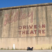
- Too late for the show here 🙁
-
-
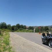
Foxen Cyn. and Alisos Cyn.
One of my favorite intersections.
-
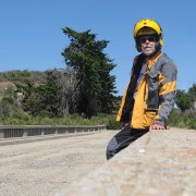
- The old, closed bridge 20 miles north of S.B.
-
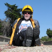
- Same bridge — me sitting this time
-
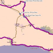
- Here is a map of the day’s ride, courtesy of my Garmin Zumo 660
An interesting day in many ways but the day’s 28 degree spread obviously caught my attention.